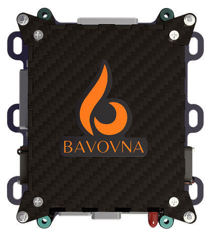
Sturdy, EW-protected hardware
Multilayer carbon shell with PEI-doped structure and under-mount for vibration isolation.


Hold your UAV in place like it's bolted to the sky—even in jammed, spoofed, or zero-visibility conditions. Whether you're relaying comms over a combat zone or scanning for life in a collapsed building, AirTower gives you unwavering control over your UAV.
Hold altitude to extend communication range in signal-blocked or mountainous terrain.
Gain a 360-degree view of your perimeters without relying on ground infrastructure.
Maintain a reliable vantage point for uninterrupted surveillance in GPS-contested zones.
Assess conditions of large-scale assets faster and without putting personnel at risk.
Keep an eye on critical infrastructure in remote areas to detect damage or intrusions.
Deliver a steady aerial view to locate victims and guide responders in chaotic conditions.
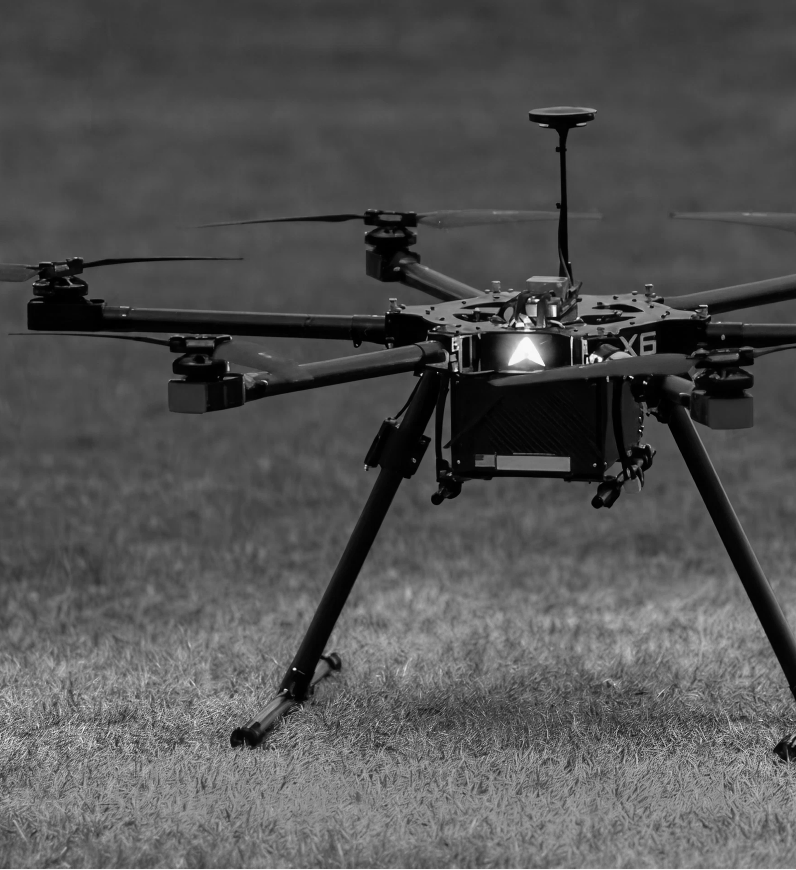
Bavovna’s AI navigation kit combines a low SWAP Hybrid INS device with custom-trained AI algorithms for seamless navigation. Trained on chaotic, real-world flights, our algorithms adapt fast and hold steady, even under EW threats or natural interference. All-in at just 800g/1.7 lbs our AI flight control system is ultra-light, plug-and-fly, and ready to mount on any UV platform.
Multilayer carbon shell with PEI-doped structure and under-mount for vibration isolation.
Precision hover with <0.5% positioning error and no reliance on satellites or maps.
Fully automated mission execution with single point positioning of ±1m latitude.
An AI-powered interface, built on ArduPilot to plan and run remote missions
Synthetic GPS output integrates seamlessly into your autopilot system.
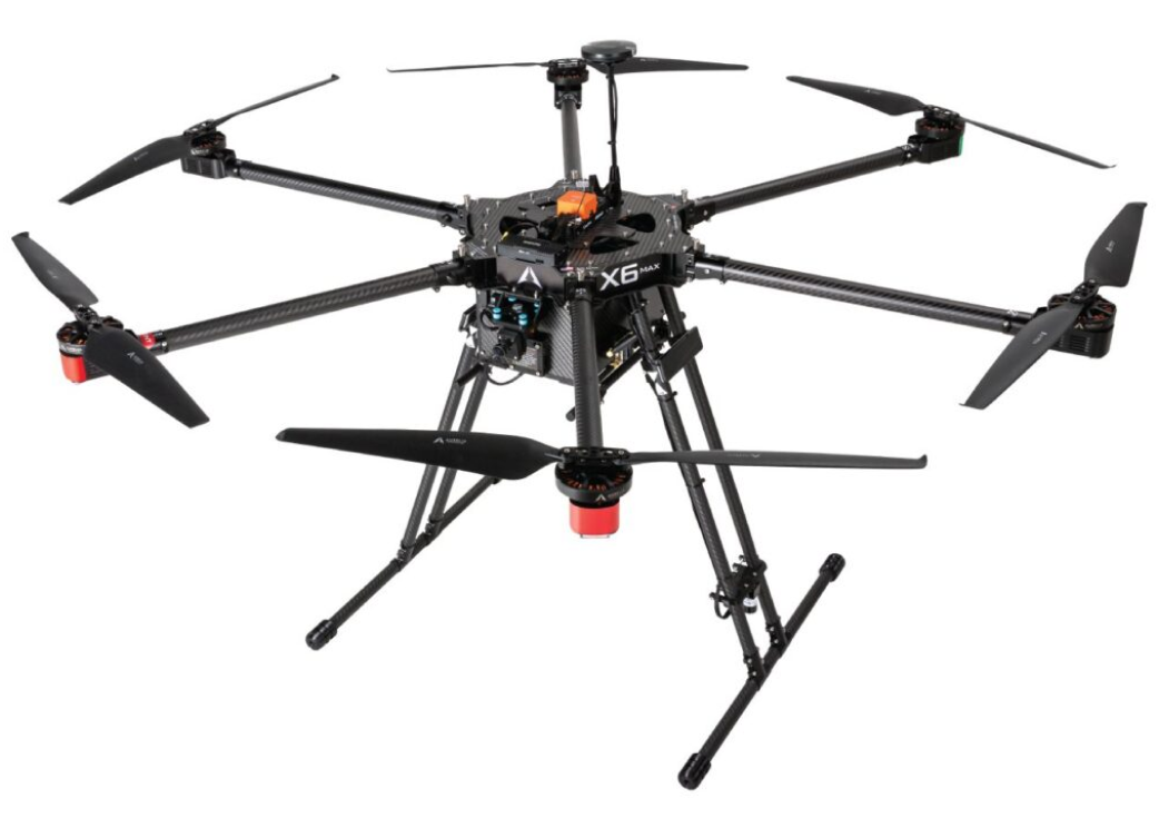
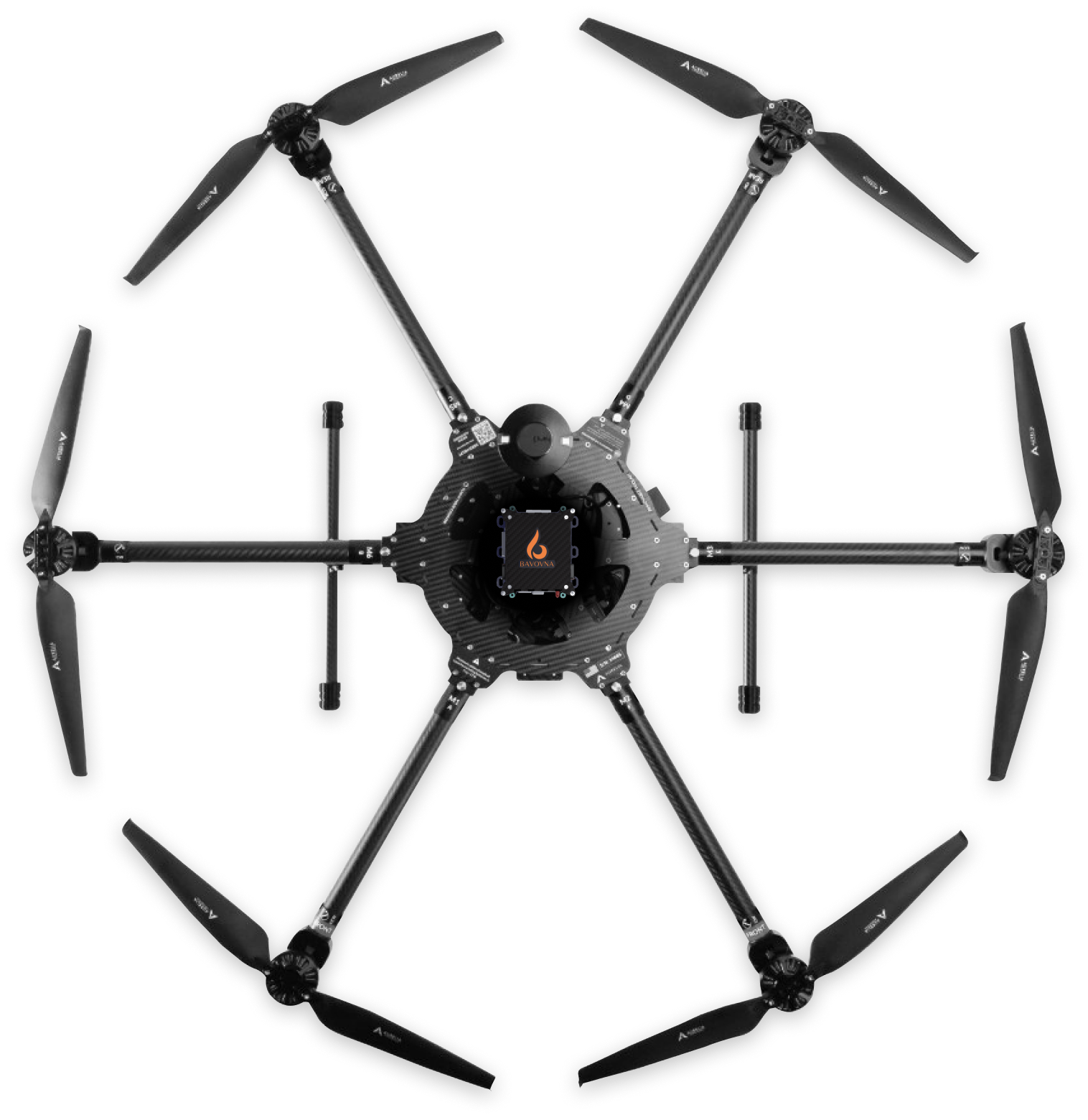
AirTower is hardware-agnostic and can be configured for quadcopters, tethered UAVs, VTOLs, and beyond. Whether you’re flying electric, hybrid, fixed-wing, or rotary—our AI INS kit plugs in seamlessly, no structural overhauls required.
The UAV completed 30+ km of high-entropy flight maneuvers, followed by an autonomous RTL, all without GPS or map input. The system maintained full stability and sub-5m landing precision despite freezing temperatures and signal interference.
Easily integrates with any UAV platform and supports custom sensor arrays and payloads, including radio repeaters, sensors, and SIGINT RF modules.
Runs on a standard +5V supply with just 50W of power draw. Use it together with additional payloads without battery drain.
Housed in an EMI-shielded enclosure for stable performance in high-interference and extreme weather conditions.
Fly up to 62 km/38 miles with sub-meter precision, even in contested or visually featureless environments.